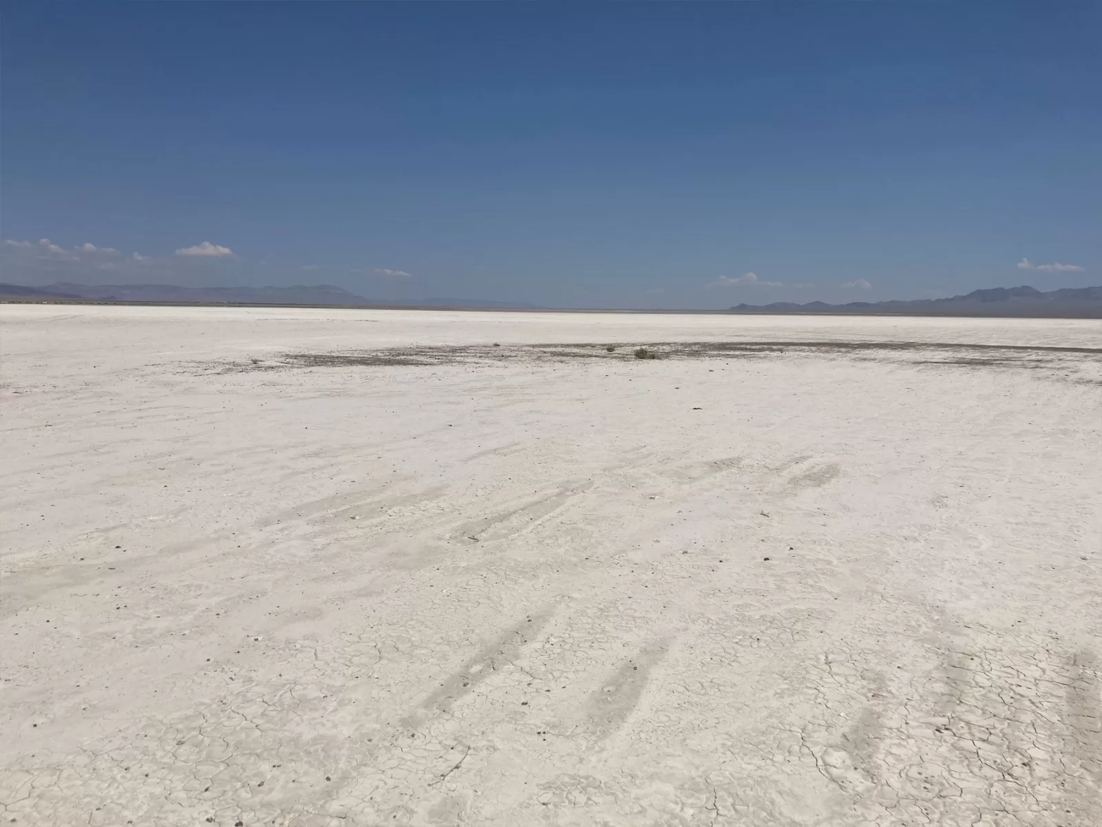
Wilson Flat
Lithium brine project located in Nye County, Nevada, which is 90 miles east-northeast of Clayton Valley and the Silver Peak lithium brine operation.
Project Highlights
Tonopah is the nearest town at 70 miles to the west and can supply the basic needs of an exploration programme. Main roads are easily accessible, with the Extraterrestrial Highway (375) located 0.5 miles away. The project is located 190 miles southeast of the Tesla Gigafactory, which is forecast to be a significant consumer of lithium carbonate.
The project tenements are centred on dry salt lake playa and consist of 168 unpatented placer mining claims and 187 unpatented lode mining claims on BLM-administered land, 100% held by the Company’s US subsidiary, Zenolith (USA) LLC, covering a total area of 13.6km2. The claims confer surface rights for any activities related to mineral exploration and production.
Prior work
2016
- Reconnaissance surface auger/post hole sampling conducted from depths of 1m – 2m, results showed grades of 33 ppm Li to 192 ppm Li
- Water bores located within 1km of the project area found lithium levels of 1.2 ppm Li, indicating potential lithium enriched waters at depth
- Passive seismic geophysical survey confirmed presence of thick, sedimentary sequence bounded by basin margin faults, being similar to those found at the Silver Peak lithium brine operation
2017
- Magnetotelluric geophysical survey line run across the playa identified a conductive layer in the upper 200m – 300m spanning the full width of the project area and a deeper, robust anomaly possibly indicative of brine material.Gravity stations were run east-west across the playa, better defining the morphology of the basement and approximate depth of the basin. The data show a steeper gradient on the west side of the basin relative to the east side, suggesting a half-graben feature and dominant fault (N-S) on the west side of the basin. The gravity assists in locating future MT lines, which are the next step to better define the later brine potential at depth.


Next Steps
- Add additional MT surveys to the south and north of the current MT line and identify extent of conductors at depth and near surface
- Collect additional clay samples from top 1-2 meters, lithium known to occur in clays from previous sampling, values up to 300ppm
- Permit shallow RC holes to test clay horizon, focusing on surface geochemistry and MT data
- Acquire permit for deep drill holes and test for lithium-brine environment


Our projects
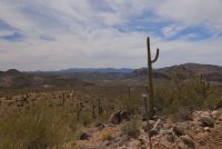
Arizona
Sedimentary projects:
Basin and Wikieup Sedimentary Lithium projects
Our projects
Arizona
Pegmatite projects:
San Domingo Lithium Pegmatite district
Our projects
Nevada
Brine projects:
Wilson and Eureka Lithium Brine projects